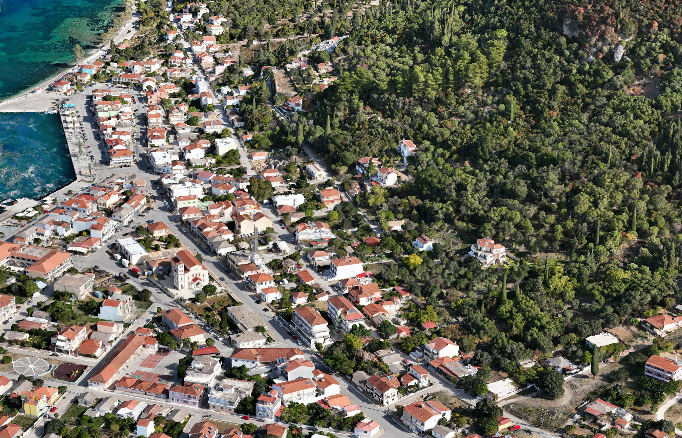
The project “Photogrammetric Surveys and Terrain Modeling” focused on the creation of a 3D model, orthophotography, and digital terrain model for the wider area of Sami, Kefalonia. Images were captured using a drone to cover the study area comprehensively. Through photogrammetric processing, the images were oriented, and the 3D model, orthophotograph, and digital surface and terrain models were generated. The digital terrain model was subsequently used to produce contour lines.
Goal
The project aimed to digitally map and model the wider area of Sami, Kefalonia through advanced photogrammetric techniques, producing accurate representations of terrain and landforms for analysis and planning purposes. The goals included the generation of high-quality 3D models, orthophotographs, and digital terrain models, as well as the derivation of contour lines to support geographical and topographical studies.
Methodology
The methodology followed a systematic photogrammetric workflow. Drone imagery was first acquired to comprehensively cover the study area. The images were then processed using photogrammetric techniques, including image orientation, alignment, and 3D reconstruction, to produce accurate 3D models of the terrain. From these models, orthophotographs and digital surface and terrain models were generated, which were subsequently used to create contour lines for topographic representation. The workflow ensured precise mapping and visualization of the study area for research, planning, and analysis purposes.