3D geometric survey (3D Scan) within the subproject 'Restoration and redevelopment of the Roman balaneium, fountain building, and architectural remains at the Loutró site, Sami, Kefalonia.
Summary
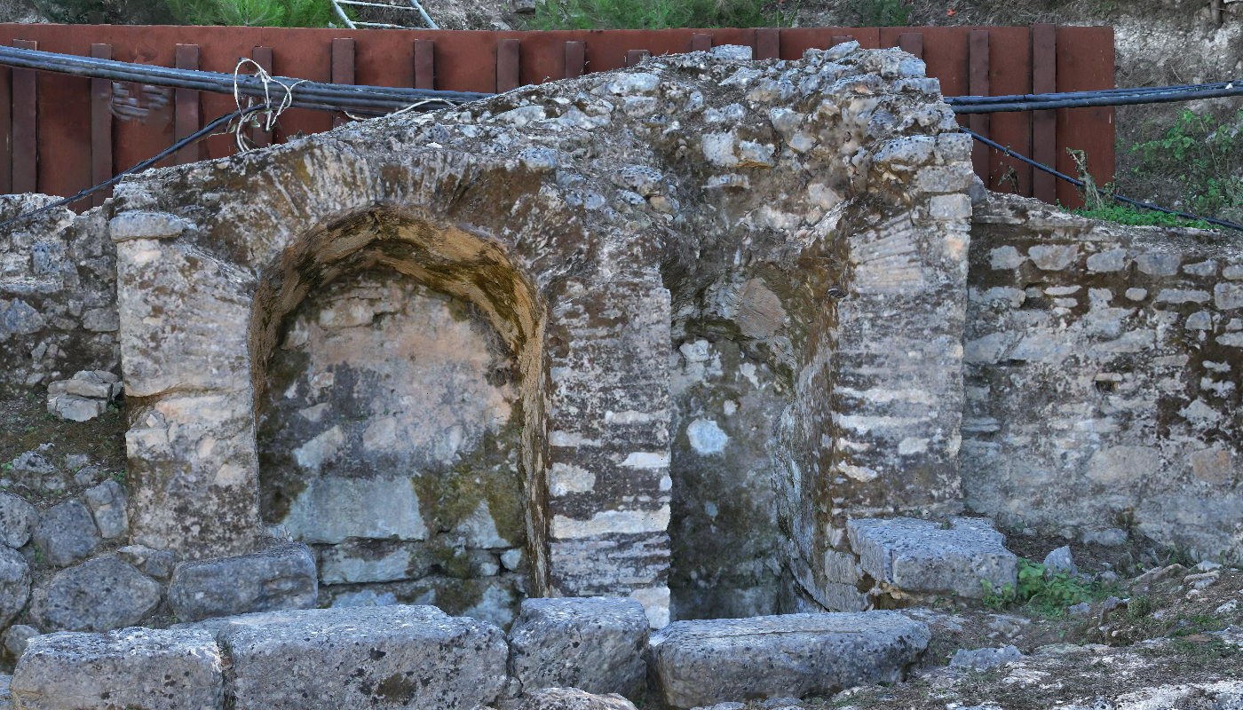
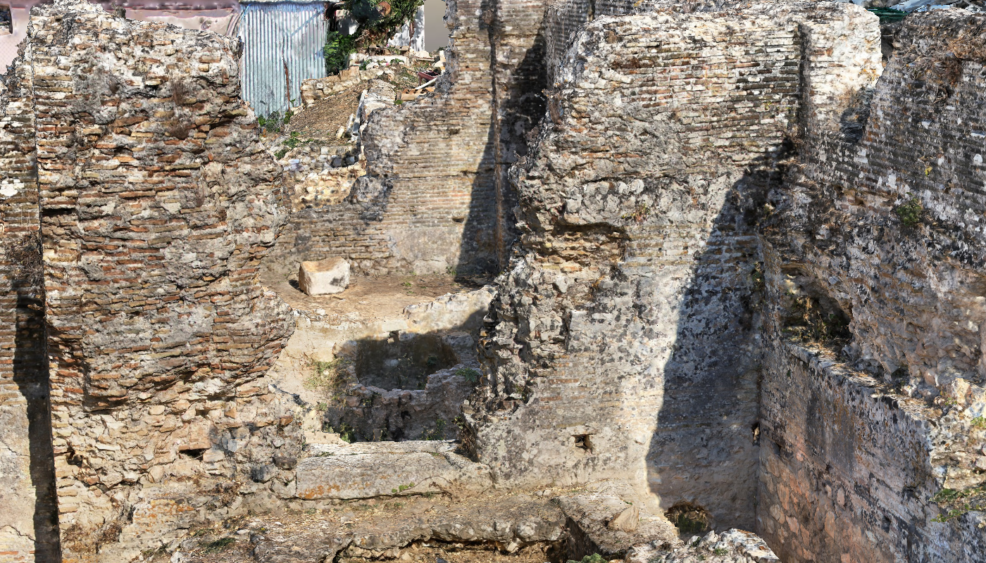
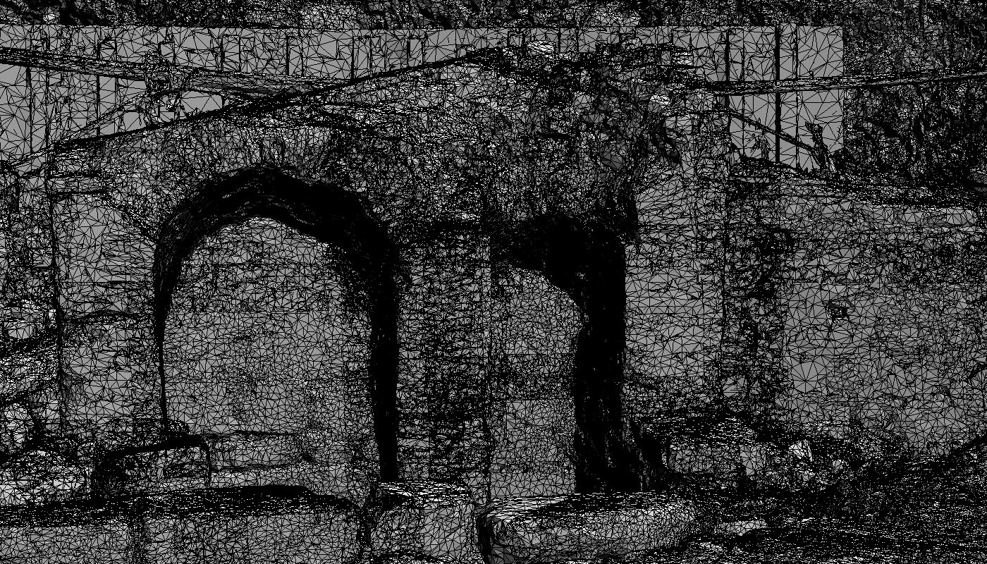
The project involved the 3D geometric documentation of archaeological sites in Sami, Kefalonia (Loutró and Kríni), with the aim of digitally representing them. High-resolution images from drones and DSLR cameras were processed using photogrammetric methods to produce 3D models, orthophotographs, and digital terrain models. Additionally, elevations and sections were created to support the study of the monuments.
Goal
The project aimed to digitally document and represent archaeological sites in Sami, Kefalonia, providing accurate 3D models and visualizations to support research, analysis, and preservation. Specific objectives included producing high-resolution 3D reconstructions, orthophotographs, and digital terrain models, as well as generating elevations and sectional views to facilitate detailed study of the monuments.
Methodology
The methodology combined high-resolution imaging and photogrammetric processing. Drone and DSLR images were captured to cover the archaeological sites comprehensively. These images were then processed using photogrammetric techniques, including image orientation and alignment, to create 3D models, orthophotographs, and digital terrain models. From these models, elevations and sectional views were derived to provide detailed representations of the monuments for analysis and study.